Or, how I learned to hike with others.
This is a post about backpacking with teenagers in the high Sierra Nevada. It might be of interest to beginner backpackers and thru hikers alike, as well as those interested in backpacking with kids in mountainous terrain.
Here’s the short summary, the ES, since you want that and not to read this whole article, which is unfortunate, as it has some interesting and perhaps even amusing bits. Maybe you will. Maybe you won’t. So it goes, as Kurt Vonnegut says.
Executive Summary
You can backpack a portion of the John Muir Trail or Pacific Crest Trail at a leisurely pace! It will be great. We did it! Twice! Hike your own hike and still cross high passes and experience the trail lifestyle! It can be done! Details follow, with fewer exclamation points.
The idea was to throw a bit of the high Sierra at my 17-year old daughter, Cassidy, and her boyfriend David. Both have some backpacking experience.
Perhaps this sounds like a flawed idea. Taking two teenagers into the wilderness?? That’s crazy! What’s the worst thing that could happen?
To answer that specifically, a fall. A simple fall is the most dangerous event that could happen in the back country. Hypothermia? Not so much, as the weather is generally idyllic, afternoon thunderstorms notwithstanding, and we had good gear, including zero-degree rating sleeping bags all around.
Bears? Yes, there are black bears, but bear/human encounters are rare and we are all required to store food in bear cans, these unwieldly, cumbersome, and heavy plastic bins. We had two bear cans, stuffed to the brims with food. The days of black bears tearing apart cars in Yosemite are a distant memory because of such precautions.
Dehydration? No, there is water everywhere. But the issue had been given thought, as the Sierra Nevada snowpack was 17% of normal so I opted to go early, with a permitted entry date of June 21, missed by one day.
Exposure? Sure, at high elevation one loses water fast. So, drink more. Electrolytes. Plants love em.
Altitude sickness can be the worst, but not for the reason you think. It’s not like this is the Himalayas! Seriously, if altitude sickness is severe enough to warrant evacuation, that’s the end of the trip for small groups.
So, the hazards are pretty much of your own making. Don’t start a forest fire. Don’t fall. Drink water often. Those are the basic rules that will keep you alive in the idyllic Sierra Nevada summer.
Oh, but lightning. I covered in this subject the car on the way up. You can have a week of perfect weather in the Sierra summer, and then, if you’re not careful, you might just find yourself on a high ridgeline in a dangerous thunderstorm. A good time to find religion, to be sure. My Wilderness First Aid certification class taught us to wait 30 minutes after lightning. The pattern of afternoon thunderstorms is predictable and can happen quickly when a surge of monsoonal tropical moisture is forced northward. Then, the fireworks start, typically striking the higher ridges first. But this goes according to a script, usually, and the thunderstorms weaken after sunset, eventually blowing themselves out, sometimes with remarkable violence.
For backpackers this means no climbing high passes if the sky is developing in the afternoon. The two choices are to make a late push into the storm or camp and wait until the next morning.
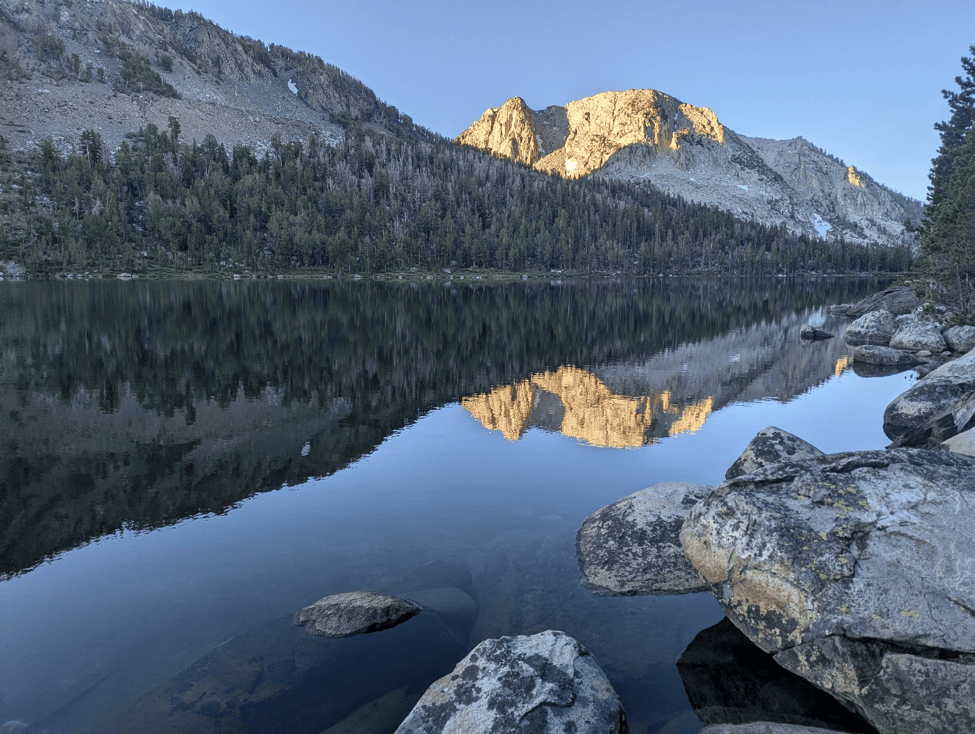
A frosty morning at Trail Lake below Mono Pass (South). That night was cold, perhaps in the low 20s F, with a freezing wind off of the lake.
One time in New Mexico my group was descending a mountain trail as the lightning crashed above, after we had summited. The trail traversed a ridge, the ridge line hundreds of feet above, with a ridgeline facing to the south across a wide canyon, perhaps 300 yards across. While I was glancing at said facing ridge, a tall pine tree below our elevation was struck when I was looking in that direction, the bolt seared into my eyeballs. The tree exploded at the base, not into fire, but steam. We were shocked and continued downwards much more quickly. So, this happens and is dangerous.
So the hazards are really avoidable, but the terrain is pretty difficult. Up or down. Rocky. High elevation. It all adds up to a formidable challenge.
Backpacking isn’t for everyone. It seems like it was invented as a concept, let’s invent a sport in which everything is more difficult. What a great idea! But don’t today’s youths need to be challenged, particularly in ways that remove them from media for long periods of time? Wouldn’t they also benefit from the experience of living
without a car for a short time? Would they enjoy the trail culture? Would the experience awaken something deep within them? For years I played with the idea of, “trail consciousness” the idea that wilderness experiences evoke genetic knowledge that is suppressed by domestication. A heady idea as, in contrast, what I usually gain from backpacking is an outlet for my anxieties, as they are channeled into survival: finding water, making food, managing personal hygiene, shelter, etc.
Last year I convinced my then 16-year-old daughter to hike just a part of the John Muir Trail south from the start in Yosemite. It was a big ask. We made it to Red’s Meadow in Mammoth Lakes, having crossed over Donohue and Island Passes and then stopped because she had had enough after four nights. Cassidy said no more. It was a good first experience. The worst part was that, by exiting early, we hit Mammoth Lakes on the 4th of July weekend with no car, and the shoddiest hotel in town was more than $300 a night.
Cassidy knew what she was getting into this time, or so I thought, and had claimed she had been training. That claim was found to be questionable.
So, we decided to continue southbound on the JMT from Red’s Meadow. This year I thought things might be a little different as she knew what to expect. Also, the 16-year-old was no2 17 and had a boyfriend who would join us. He had at least some backpacking experience and was healthy, but having grown up in California had never been into the high Sierra Nevada. Curious.
The John Muir Trail
The John Muir Trail is more or less a 211-mile portion of the PCT from Yosemite Valley to Mount Whitney. Most people do it southbound in several weeks and cap it off by summitting Mount Whitney. The elevation averages around maybe 9500 feet and goes over numerous high passes, including Forester Pass at 13,153 feet. It’s difficult, rocky and steep terrain. This trail makes you feel like you are crossing mountain ranges, which it is.
The John Muir Trail was completed in 1938. The namesake, of course, is the renowned Wisconsin-born naturalist who inspired the national park system. This trail, like the PCT, is remarkable in that it crosses mountain ranges, climbing high passes every 20 miles or so into new drainages. Instead of hiking up to a glacial basin to relax in alpine splendor, let’s cross mountains! It’s a wonderful way to go, the high passes make one feel like a mountaineer, the alpine high country is simply uplifting, and your progress is directly observable when you exit in a completely different part of the State many miles from where you started. There is nothing like the experience.
A couple of interesting tidbits. One, it’s not clear how many of these routes John Muir himself established. Consider this following experience, for instance. Somewhat south of Mount Whitney along the Pacific Crest Trail, somewhere near Cottonwood Pass in southern Sierra, there is a site along the trail riddled with black glass obsidian shards. It is a large area, and the conspicuous black luster of the obsidian flakes is obvious as one looks around. These were crafted, and what is left behind, what one sees, is the rejects. This was obsidian crafted into tools and weapons by indigenous peoples, high on this mountain overlooking the Owens Valley below. So, indigenous people certainly came up to the high country in summer and likely used many established trails. The thing is, though, the obsidian in this particular site comes from the Mammoth Basin area, as has been chemically proved, almost 200 miles from that spot to the north. This implies trading and a network of traders, using these high-country trails. I opted not to take any souvenirs that time, but one other thru hiker did, and found that the constant movement of backpacking caused the flakes to cut through both the handkerchief they wrapped the obsidian blades in, as well as the backpack storage pocket. Instant Karma for not adhering to leave no trace protocols.
And John Muir may not have been amendable to consideration of indigenous contributions, as he spoke disparagingly of the indigenous peoples of the area. And this was not forgotten by thru hikes, as during my PCT thru hike in 2017 it seemed that about one-third of all thru-hikers were inspired to thru hike by the film and book Wild by Cheryl Strayed. Among millennials it was much higher, perhaps 2/3, and most thru hikers were in that millennial age group. Now, many of these same millennials also canceled John Muir for his racism and held poor views of his work, largely dismissing its value based on his racism. Viewed in the historical context of a literal genocide of indigenous peoples, I would suggest that John Muir’s racism does not much diminish the value of his expanded works, which are a unique naturalistic vision of that time. That his perspective does not include native perspectives shouldn’t perturb anyone, really, as only now are *some academics building bridges to living indigenous communities and their living bodies of knowledge. The Smithsonian article below states that the National Park system itself is racist as it excludes native peoples and indigenous knowledge. Yosemite, for instance, has an Paiute name, Ahwahnee, now reserved for the name of the hotel in the lower valley.
Here are two articles on the issue:
Sierra Club reflects on its racist roots and looks toward a new future – Los Angeles Times
Sierra Club Grapples With Founder John Muir’s Racism
For more information about the John Muir Trail, go here:
John Muir Trail Map – The JMT Wilderness Conservancy
On Trail
My goals were to challenge these kids and see what they could do. We would go in heavy, meaning with lots of food, enough for eight days. I had a 99-mile route planned including an exit over Bishop Pass, but that was all theoretical. A secondary goal was also exposing the kids to backpacking and thru hiking culture with a visit to Vermilion Valley Resort, a mostly backpacker supported resort on Lake Edison at 7500 feet of elevation. And hitching is always fun. (Backpackers hitching from trailheads like this is not only necessary, but accepted, safe and often fun.)
We set out, but not from Red’s Meadow, as the road was under construction and my information said the shuttle to Red’s was not running. But that’s where recreation.gov gave me a permit to hike from. What to do? Instead, we parked at the Horseshoe Lake trailhead up in Mammoth Lakes Basin and took the Mammoth Pass Cutoff Trail. This should probably be a preference for thru hikers, as it’s an easy pass, only about 4.5 miles to the trailhead from the JMT/PCT, and skips a rather dull, dry, and recently burned portion of the JMT/PCT from Red’s Meadow, and has a free shuttle to town.
I don’t know if the NFS cares, but we started as outlaws, violating our permit conditions from the start! So, we hightailed it to the JMT over Mammoth Pass Cutoff, heavy with 8 days of food. We ultimately faced no retribution for our terrible misdeeds. In fact, we encountered no backcountry rangers at all. Though the stations farther south in Sequoia and Kings Canyon National Park are probably staffed with rangers passing their time fishing.
Thru-hikers! This route is recommended for resupply. It’s easy, Mammoth Pass is pretty low, and avoids Red’s Meadows and their $24 burgers. You can take the free shuttle from Horseshoe Lake to Mammoth where you can get a better $20 burger. Take the Lakes Shuttle downtown. It’s so easy.
The Sierra Nevada
The Sierra Nevada is a special mountain range that remarkably few people see more than a short distance from a road or a ski lift, unfortunate because the Sierra high country is all but a paradise in summer, a full 300 miles of alpine high country as the crow flies on the north-south axis. Orogeny (i.e., mountain building) of the Sierra Nevada involved uplift of a curving shelf of granite plutons, with the steep side on the east, to the west the foothills more gradually sloping down. The northern portion is more volcanic and more glaciated, the southern portion somewhat drier, higher, and less glaciated. Behind this crest drop deep valleys full of gushing streams, deep forests, and verdant meadows. In summer, when the weather is typically dry and warm, it’s essentially a paradise, including that for the mosquitoes, which can be avoided later in summer. The landscape would appear to contain dragons in the many craggy peaks. Well-traveled hikers have told me that only the Himalayas are grander. That’s quite a comparison. Suffice it to say that the high country in the Sierra Nevada is difficult to reach, so many Californians even, never see it.
Isn’t it curious that Ansel Adams chose black and white to photograph this mountain range? It’s almost as if he held too much reverence for the real thing to attempt color reproductions.
Now some will say that the mountains in Colorado are better, but let’s not fall into any comparative, hyper-analytical trap by the question, “Aren’t the Rockies better?” It doesn’t matter, let’s appreciate them all. The Sierra cannot compare to the wildlife of the Rockies, or the size, as they stretch from Mexico to Canada. That’s not the Sierra Nevada. And Colorado alone contains five different mountain sub-ranges.
What sets the Sierra Nevada apart? Well, the length of the high country, for one. What’s more, the character, defined by shining glacially carved rock, basin lakes, massive boulder moraine, snow fields and cirques below craggy peaks, and the thundering streams. Ansel Adams called it, “the range of light.” Apparently, John Muir’s work was communicated to the geologist Louis Agassiz, who was the first to suggest that the Earth had undergone a length period of glaciation, aiding the realization that glaciation was global.
The Sierra Nevada have one thing that the Rockies don’t really have. A vast alpine high country, hundreds of miles long and at least 50 miles wide, full of snow fields, cirques, glacial basins, moraine, and gushing and thundering streams and rivers. Once the high cirques and basins held hundreds of slowly churning glaciers, now there are just a few left, in the highest and coldest places. Some of these lake filled high basins, dammed by the moraine machined from the mountain, still feel like they are alive with something that might be called elemental ice energy.
And that’s how things started, a little cold but perfectly dry. Not a cloud in the sky. And tons of hungry mosquitos, lessened in force every day.
With our leisurely pace, by the second day I had given up the expectation that we would reach our permit exit. I just threw that flawed concept out. We would do what we would do. Hike your own hike. HYOH. There had been a miscalculation. I could not, in fact, get my daughter moving on my schedule, and I didn’t want to waste the energy trying. So, I ended up making one request every morning to wake her up. That was it. I let the teenagers set their own pace but made the goals clear.
Let’s back up a bit with some personal reflection. Backpacking has largely been a solitary activity for me. When I lived in California in the 90’s I made different forays into the Sierra Nevada, the Santa Lucias (known commonly as the Big Sur Mountains), the coastal mountains of California, and the Oregon Cascades, including several PCT section hikes. My first PCT section hike was from Dunsmuir to Grants Pass. One day I walked out of my student housing apartment in San Francisco, took the Muni to the transit center, Greyhound to Dunsmuir in northern California, and was on the PCT by sunrise, in the high country by evening. That was the first time I practiced ultralight hiking and was thrilled that I could keep up with, and keep the company of, thru hikers.
This interest started with a group hike of nerdy teenagers in 1986, my first backpacking trip, part of the Uraniborg Astronomy Camp. So, nerdy wasn’t meant to be disparaging, but is instead accurate. That trip was a five day from Crabtree Meadows, averaging about 6 miles a day and ending with an attempt on Mount Whitney (highest peak in the 48), proscribed by a mean lightning storm that forced us into shelter and off of the mountain. I recall this being an incredibly difficult trip, not to mention that we were low on food and I stashed some breakfast cereal in my pack. I was reprimanded fairly for this, to which I responded, “but I’m starving.” We had plenty of GORP (good old raisins and peanuts), however, and I wasn’t able to stomach the stuff for years. But it wasn’t just the hunger that proved difficult, it was complying with the group’s schedule.
On this trip my daughter’s schedule took precedence, who could barely be moved before 9:00 am, fully three hours after sunrise. This is something, I suspect, that all parents of teenage daughters know, they cannot be moved unless they want to move. Immense supplies of patience may be required. Now, there is something positive in this. Cassidy’s leisurely, but deliberate pace had one important function. My daughter was a master of her kit, and she would not let mileage pressure dissuade her from her everyday routine of hygiene and care for her gear. Even in the back country she managed to be fashionable and well-organized, not to mention clean. She approached things with a simple parsimony, organizing her gear, braiding her hair, and taking her time packing up. In many ways she had the calm confidence of a veteran backpacker. This made me silently proud, in spite of our slow pace. The world had shifted again, and I could only do my dance and stay upright.
So on the second day out of Mammoth Lakes it was clear out planned 99-mile route with an exit over spectacular Bishop Pass would not be realized. Instead, I made the decision to drag the two to Vermilion Valley Resort, as long as it would take, which was about four full days. This was not at all a difficult decision. This was a much more important experience for the kids than for me. And in that decision was the very satisfying acknowledgement that this was probably the most rewarding backpacking trip of my life.
At one point I talked to Cassidy about her apparent entitlement to make others wait so much and often on her.
We averaged about 10 miles a day in the John Muir Wilderness, perhaps a little more, on this stretch, which also included an average of 2000 feet of climbing a day. 10 miles a day on the JMT means about one month for the entire JMT.
Silver Pass is one of those Sierran passes that take forever to reach. David, for one, thought we could see the pass above us, as we camped near Lake Nuumu Hu Hipi. Now the mapping app caltopo has this lake named Squaw Lake, but my NatGeo paper map has a different name, Nüümü Hu Hupi. A search reveals that the USGS did indeed change the name in 2022. A search of a Paiute language dictionary (dictionary.kubishi.com) translates Nüümü Hu Hupi as literally, “human woman” although there are some dialectical differences and the closes words were actually, “Nüümü hühüüpi’. There are apparently three dialects, belonging to the Numic branch of the Uto-Aztecan language family, which also includes Shoshoni, Kawaiisu and Ute.
Time for some photos!
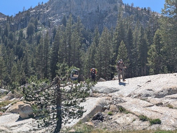
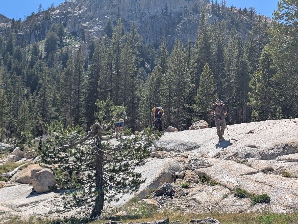
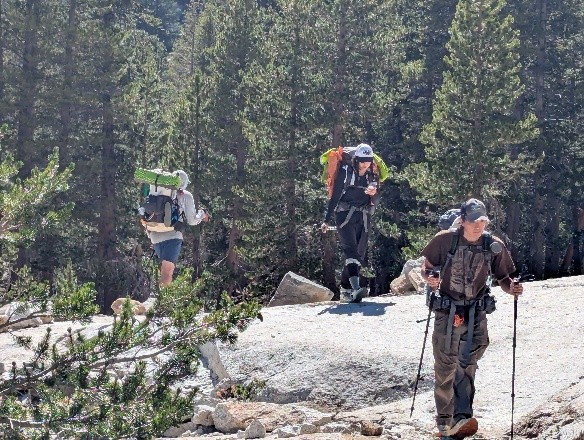
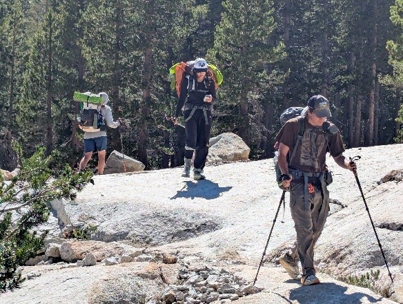
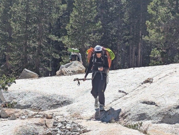
A five-shot sequence of Cassidy checking her phone. “Can you not?”
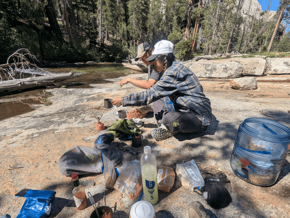
A late breakfast on Mono Creek. Cassidy sporting Pata-gucci flannel. Tres Chic!
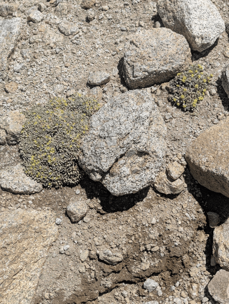
Alpine Eriogonum. The variety of plants this trip was astounding. It pays to visit in the Sierran springtime!
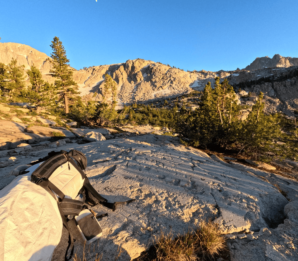
Our Silver Pass Campsite, on a relatively flat granite slab overlooked Nuumu Hu Hipi Lake and the Fish Creek Valley
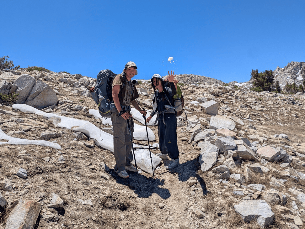
Silver Pass Shenanigans. Just enough snow for a snowball fight. And no, you don’t need to carry that ice axe, thru hiker!
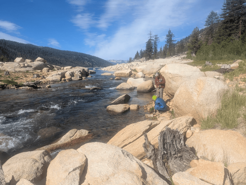
The Mono Creek river mouth at Lake Edison. Up to the right there were several established camp sites with bear bins and fire pits. We had a terrific camp fire and I went to sleep near it, waking up shouting shortly after, my sleep brain thinking, “fire!”. Ope, right, go back to sleep, kids.
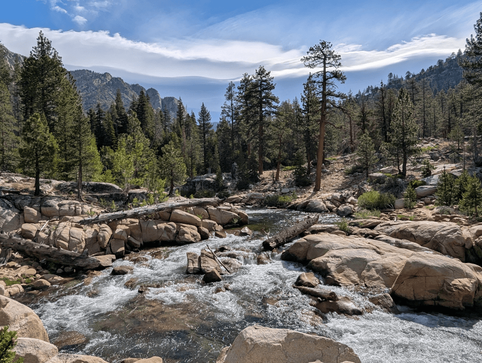
Mono Creek perhaps 1000 feet above Lake Edison
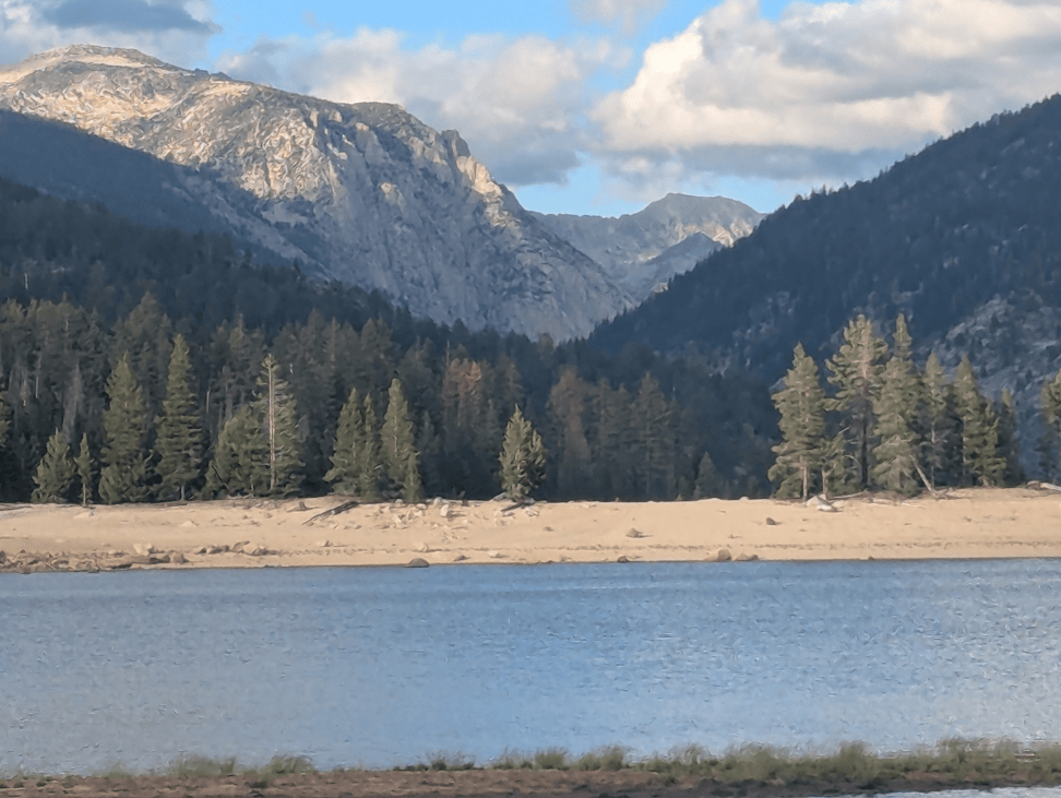
Lake Edison at a low water level. Pray for snow? Yes, and my prayers were answered promptly.
Vermilion Valley Resort
Vermilion Valley Resort, or VVR for short, is on the shore of Lake Edison, a hydro project reservoir about five miles long at the end of Mono Pass Road, a trailhead set deep within the Sierra Nevada at 7500 feet of elevation. VVR has long been a favorite, if expensive, rest and resupply point on the PCT and JMT, of long-distance hikers, and is largely supported by them. Most PCT hikers budget several hundred dollars for VVR. The lake has a very nice NFS campground and both Mono Hot Springs Resort and Muir Trail Ranch are nearby, by car.
In normal years thru hikers are able to take the ferry to VVR, saving the five or six mile hike along the lake. Last year, however, tragedy struck and the ferry captain, Captain Paint or Captain Paint My Wagon, apparently had a medical episode while piloting the boat.
Hikers mourn Lake Edison ferry captain Perry ‘Paint’ Harris | Fresno Bee
No more Captain Paint My Wagon, no more VVR ferry.
This loss has apparently dissuaded many thru hikers from visiting VVR, and the small resort is obviously hurting for business. Along with the overall decrease in foreign tourism, and the World Cup, VVR was relatively empty.
We “took a zero” at VVR and absorbed the thru hiker culture, meeting up with Ghost, who I remembered from a PCT hiker facebook post months ago in which he described feeling drained and purposeless on the trail. I had responded by saying something like, “Keep going. You will find community on the trail and purpose through this.” Well, he had continued and was now 900 miles in but was still feeling despondent. Thru hiking is rewarding, like nothing else is, but it won’t fix everything. I wish that I had had more encouragement for Ghost.
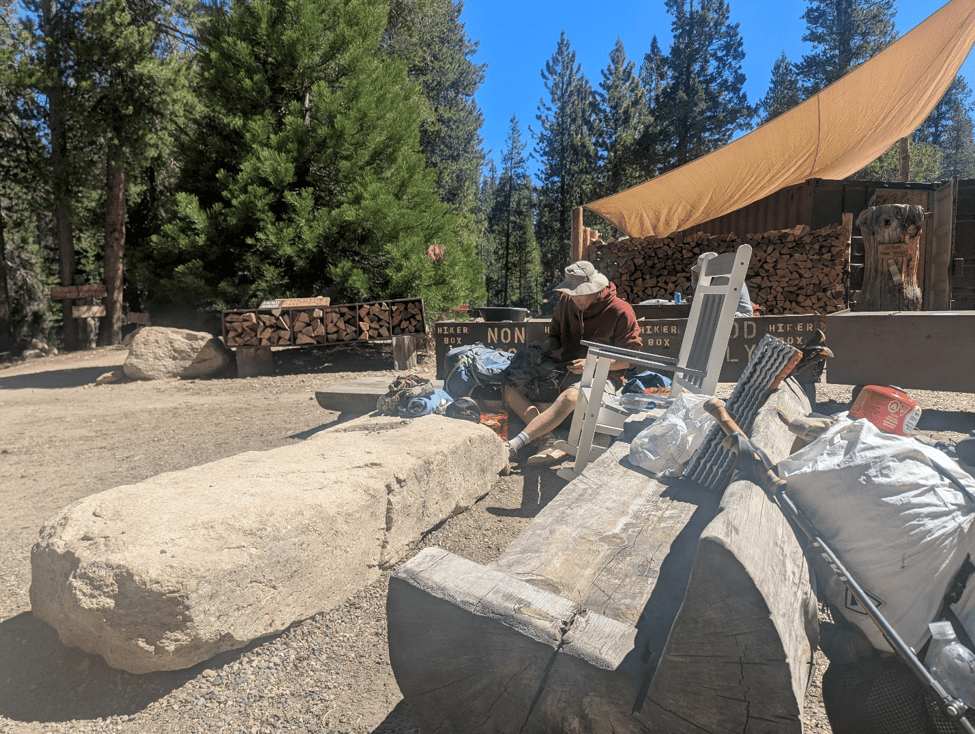
The patio at VVR. Hiker boxes behind David.
We made it to VVR on the tail end of the “bubble”, when the mass of northbound thru hikers are passing through, and by the next day it appeared most thru hikers had moved on and VVR was quiet.
It was obvious that VVR was suffering for business, partly due to the loss of the ferry, and they were advertising a boat captain position as an employee in an attempt to regain this service. For someone with an adequate board, a captain’s license, and insurance, it would be a lucrative seasonal business. In 2017 when I last visited the boat was always full at $16 a trip, and would produce $1000 plus with just two trips a day.
How is VVR so expensive when tent camping is free? It’s mostly the meals. The cheapest meal might be a breakfast vegan bowl for $17, but the remainder of dishes are upwards of $26, so staying at VVR and eating their meals can eat into that budget fast. The showers also seem pricey at $10 for eight minutes. Beers $5, first one free for thru hikers. It’s best to get in and out. But that’s always true for the successful thru hikers: take few zeroes, resupply and get back on trail. That’s the recipe for success.
VVR is a blast, normally, with hordes of festive thru hikers stuffing themselves. The little restaurant makes a point of announcing trail names and seem to think it’s weird if you use your real name.
At this point it was obvious that the teenage daughter was exhausted, and I amended plans to compensate, directing us to exit out over Mono Pass, a difficult, but direct route east up Mono Creek, and out over the highest part of the Sierra Nevada to Mosquito Flats and Pine Creek trailhead.
I know exhaustion when I see it in my daughter’s face. And there was a hint of desperation. This is good, but tread carefully, I told myself. Hence then choice of the most direct route out. But tt also occurred to me to give her and her boyfriend a head start by renting a fishing boat and running them to the other part of the lake. As we were discussing this, a thru hiking couple expressed interest, and would help me share costs. So I reserved the boat, which wouldn’t be available until 1:00pm. We waited several hours until the boat would be available, and upon loading up were informed that we absolutely could not take other passengers. VVR was anathema to the thought of the liability after the harrowing experience with Captain Paint. I was allowed to take my daughter and boyfriend, but not the others. With the guilt of having wasted hours of their day, I piloted to the other end of the Lake with my daughter and her boyfriend, and piloted back against a mean wind and chop. All went well, I returned the boat and started walking to catch up to them after stopping to eat a sandwich, and hiking until dark when I found them.
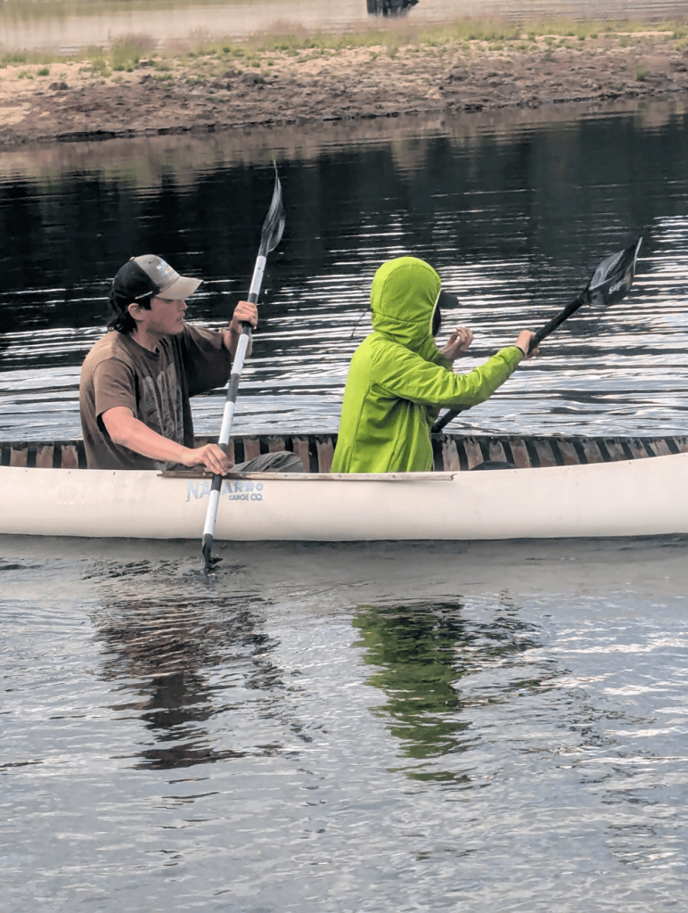
The canoe thieves make a run for it!
At this point all we had was a difficult 4000 foot climb to exit the Sierra. This took two full days, perhaps a bit more with the late starts.
Mono Creek trail follows the stream, meandering through thick pine forest and grassy meadows. IN many places the cottonwoods and lodgepole pines where short, literally truncated by avalanches. Bears love to eat grass in these high meadows. We didn’t see any bears but saw plenty of fresh scat full of digested grass.
As we climbed up towards the pass the next day clouds rolled in slowly and the air grew damp. Soft clouds ambled into the canyon, rolling slowly over the high ridges. Soon it was overcast and soft little round sleet balls started falling. Then, softly rolling thunder. It grew colder and we paused to wait out the lightning, one bolt of which struck a lower facing ridge. I’m not sure if we waited the full thirty minutes, but the lightning had passed and there were no more strikes anywhere near us.
One amazing thing about the Sierra Nevada in summer is the weather. It’s reliably dry and had been our entire hike. However, the thunderstorms are also reliable. Several days without clouds may pass and then, one afternoon, claps of thunder will be heard echoing down the canyons.
It soon started to snow, and we put on our cold weather gear and headlamps, the plan being to climb as much as possible before camp, hopefully making it to the second-to-last lake at about 11,500 feet, the pass being at about 12,100 feet (Mono Pass is often confused with the Yosemite Mono Pass farther norht, which is lower).
It grew dark and continued to snow. We plodded on, everything within the orb of our headlamps the color white.
I heard giggling from Cassidy behind. And again.
So I asked David, “what’s she laughing at?”
“She’s listening to youtube shows she downloaded at VVR.”
“Sheeshus…”
Yup, that’s my kid, I thought to myself. Climbing a mountain in a snowstorm, having a grand old time. That’s style. Maybe she is good at this.
Afterwards, back at the car, I apologized for the level of difficulty, the arduosity, but Cassidy only said, “It wasn’t that hard.”
Well, there’s always next time, when we can make it more difficult, perhaps by starting out early each day. As long as there is a chance, I will keep hope alive.
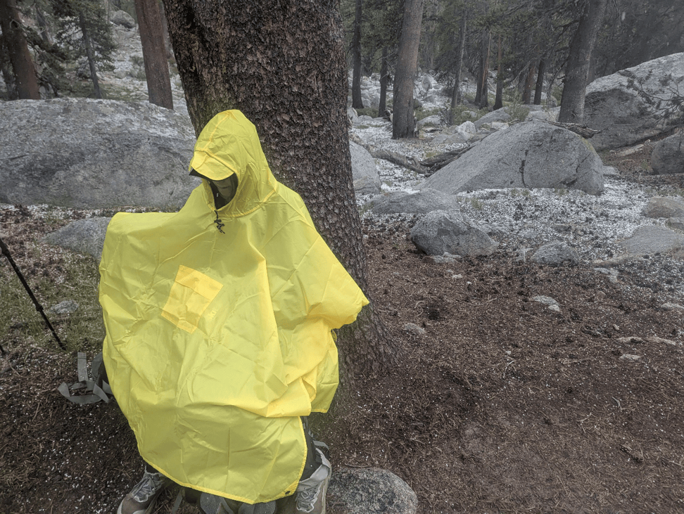
Cassidy gears up for the climb! This was just the beginning of the gentle, but very cold, snow storm.
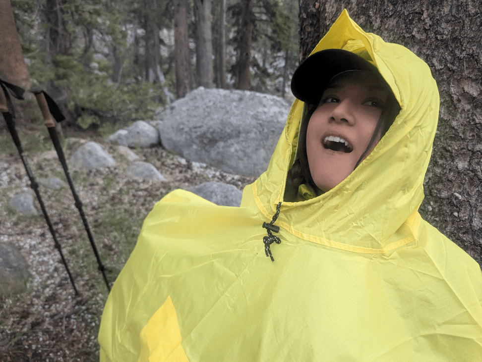
Cassidy hams it up for the crowd!
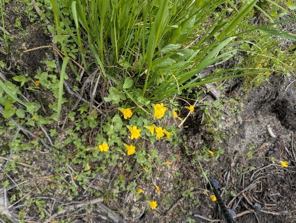
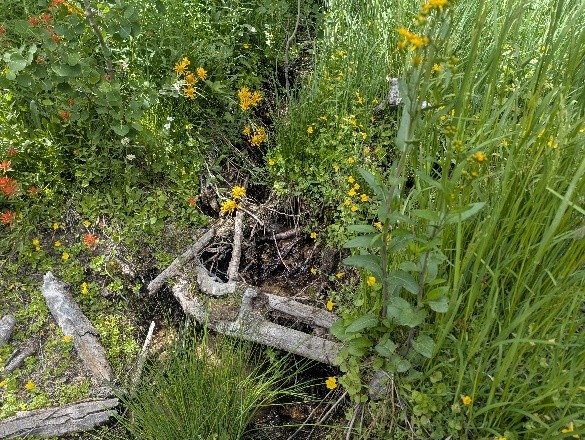
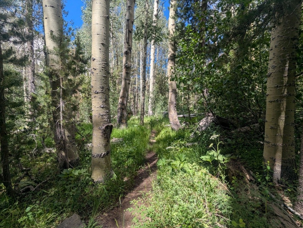
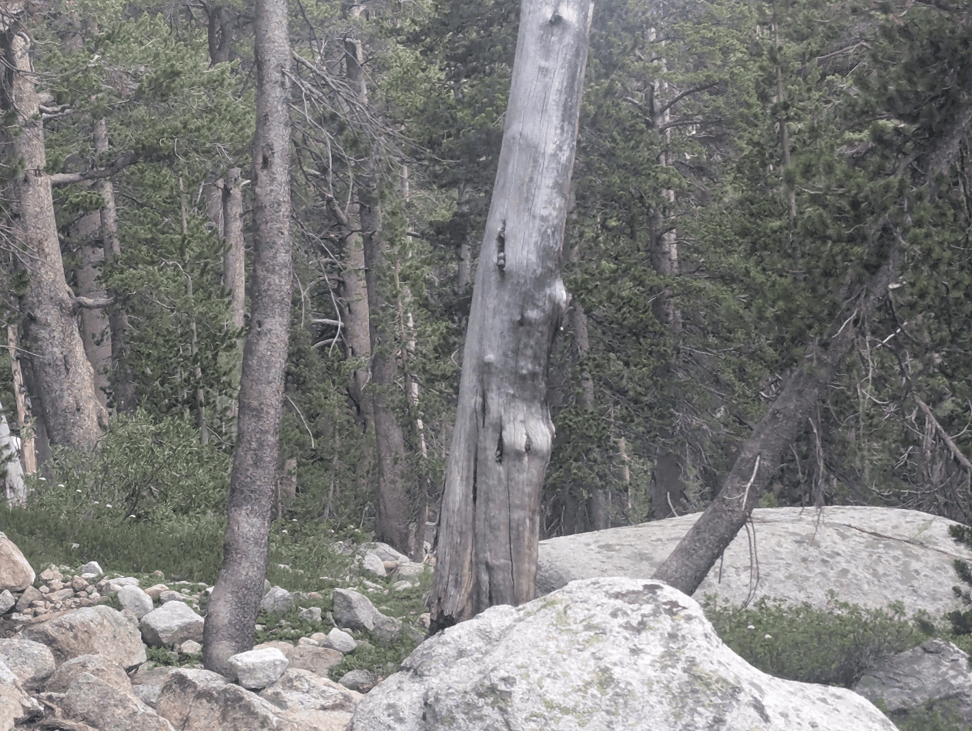
Tree porn!
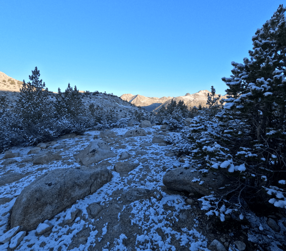
Cold, so cold. The condensation from my body and clothes froze the toebox of my sleeping bag!
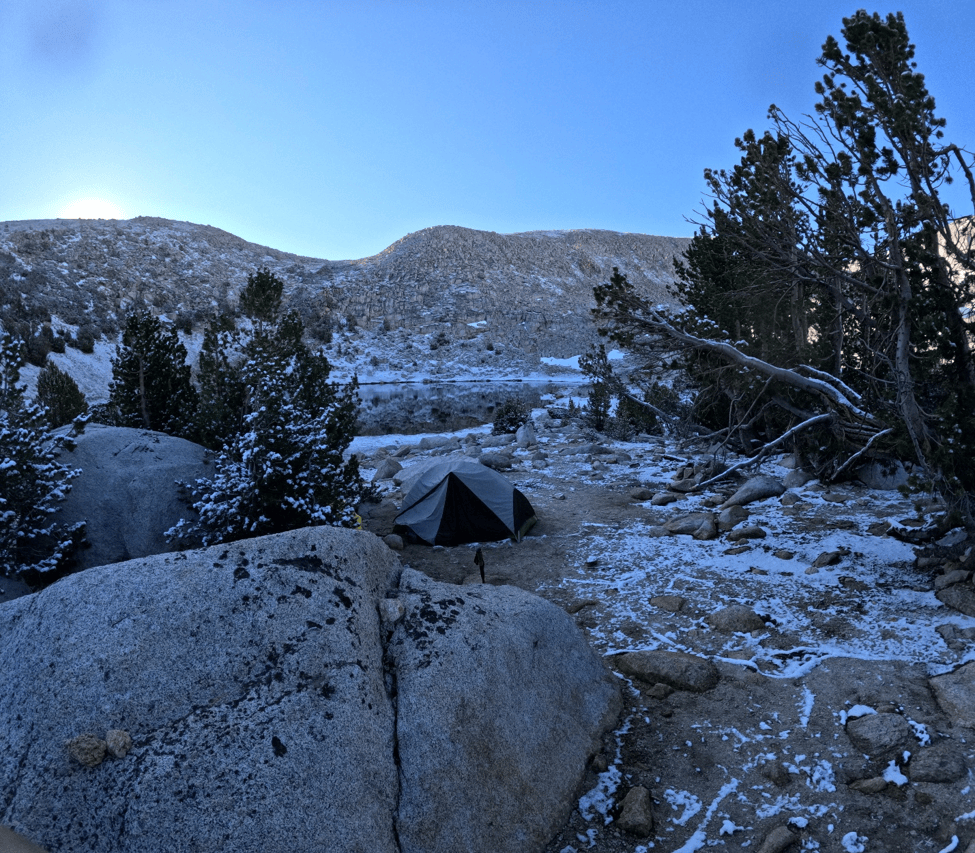
Trail Lake again, just short of Mono Pass south.
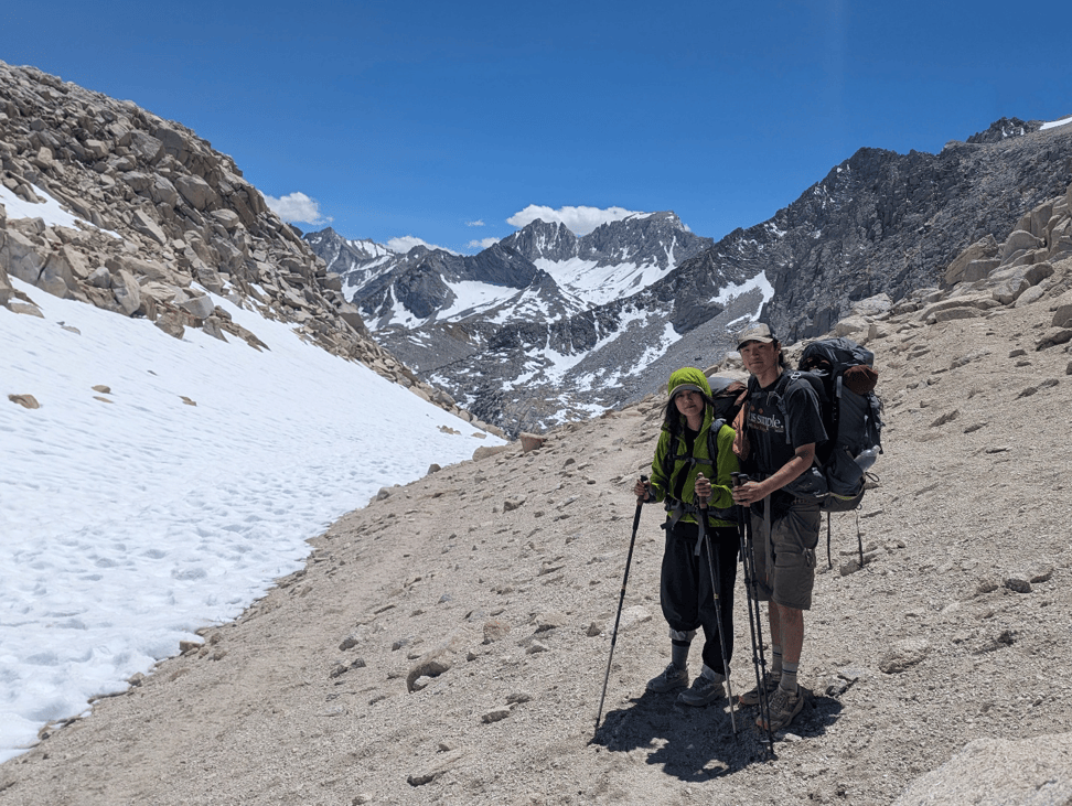
Mono Pass!
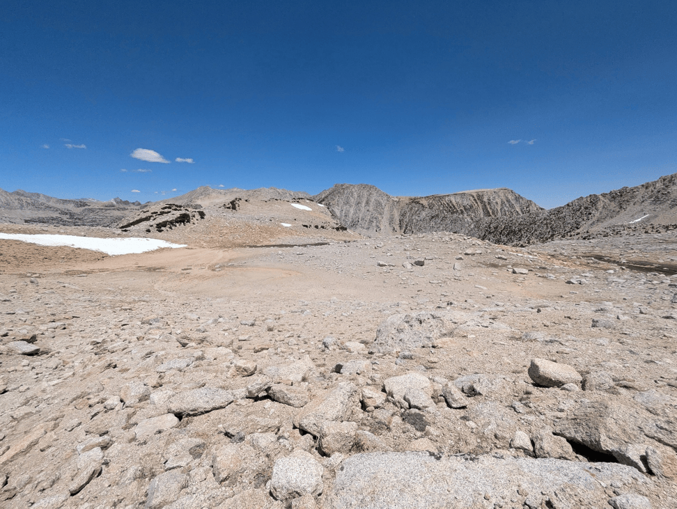
Mono Pass looking very lunar, if the moon has snow, lakes, and a few clouds.
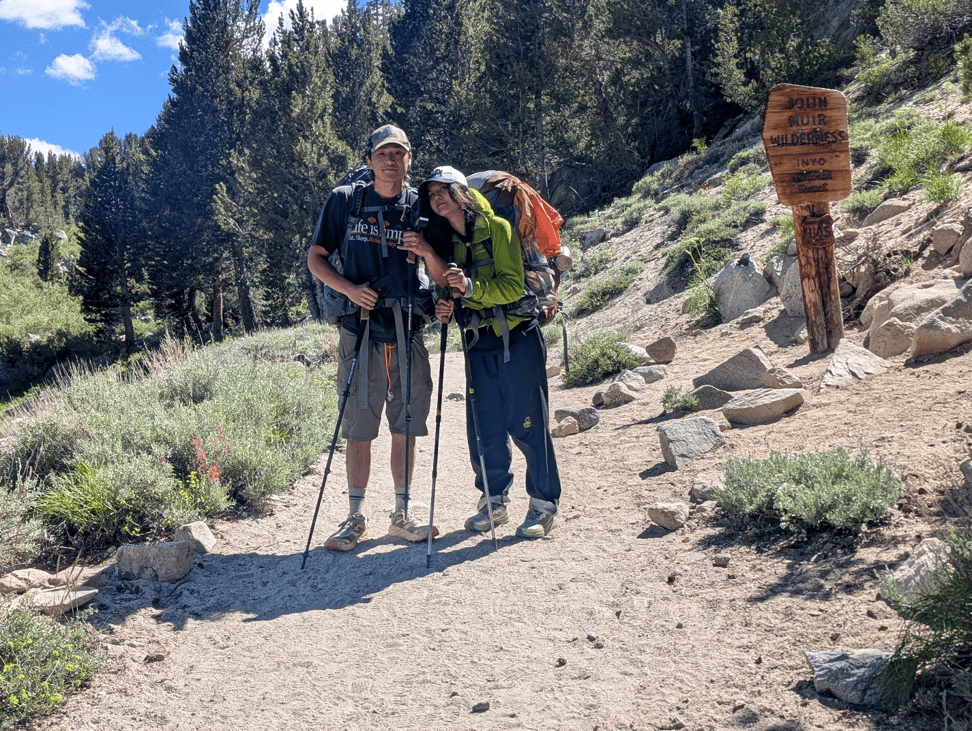
The end.
Time lapse at the “lunar” Summit Lake, which really just shows that nothing changes quickly up there. Sorry about the tilt.


Please leave a comment. I will respond.